
Agricultural Data Infrastructure
Agricultural data from Latin America, built for AI.
Hectarea sources hard-to-access agricultural data from across Latin America for AI teams — working directly with farms, producers and agricultural operators to establish provenance and commercial usage rights.
Hard-to-source. Rights-cleared. AI-ready.
 FIELD_ID 02817CROP SugarcaneLAT 3.4516LON -76.5320OBS 2026-04-18YIELD 91.4 t/haIllustrative data
Ground Truth
Remote sensing tells you what the field looks like. Ground truth tells you what actually happened.
Satellite imagery can show how a crop changes over time. Ground truth connects those observations to verified field outcomes.
Data We Can Source
Agricultural data, sourced around your model requirements.
Tell us the crop, geography, modality and ground truth your team needs. Hectarea works through its Latin American sourcing network to identify relevant data and establish appropriate usage rights.
Field & Crop Data
- field boundaries
- crop type
- variety
- planting dates
- harvest dates
- crop stage
- field history
Production & Yield
- harvested production
- yield per hectare
- harvest outcomes
- quality measurements
- productivity history
Agronomic Operations
- fertilization
- irrigation
- crop protection
- management practices
- disease and pest events
Visual & Geospatial
- field imagery
- drone imagery
- plant imagery
- fruit imagery
- satellite-linked observations
- geospatial ground truth
Quality & Post-Harvest
- maturity
- defects
- processing methods
- moisture
- physical quality
- sensory outcomes where relevant
Examples of data types we can source — availability is assessed per request.
From Source to Dataset
From agricultural operations to AI-ready data.
Work directly with farms, producers, mills, exporters and agricultural operators.
Establish provenance, permissions and defined commercial usage rights with data owners.
Transform fragmented information into standardized, documented datasets.
Connect records with relevant geospatial, environmental and contextual data.
Prepare data around specific training, evaluation and validation requirements.
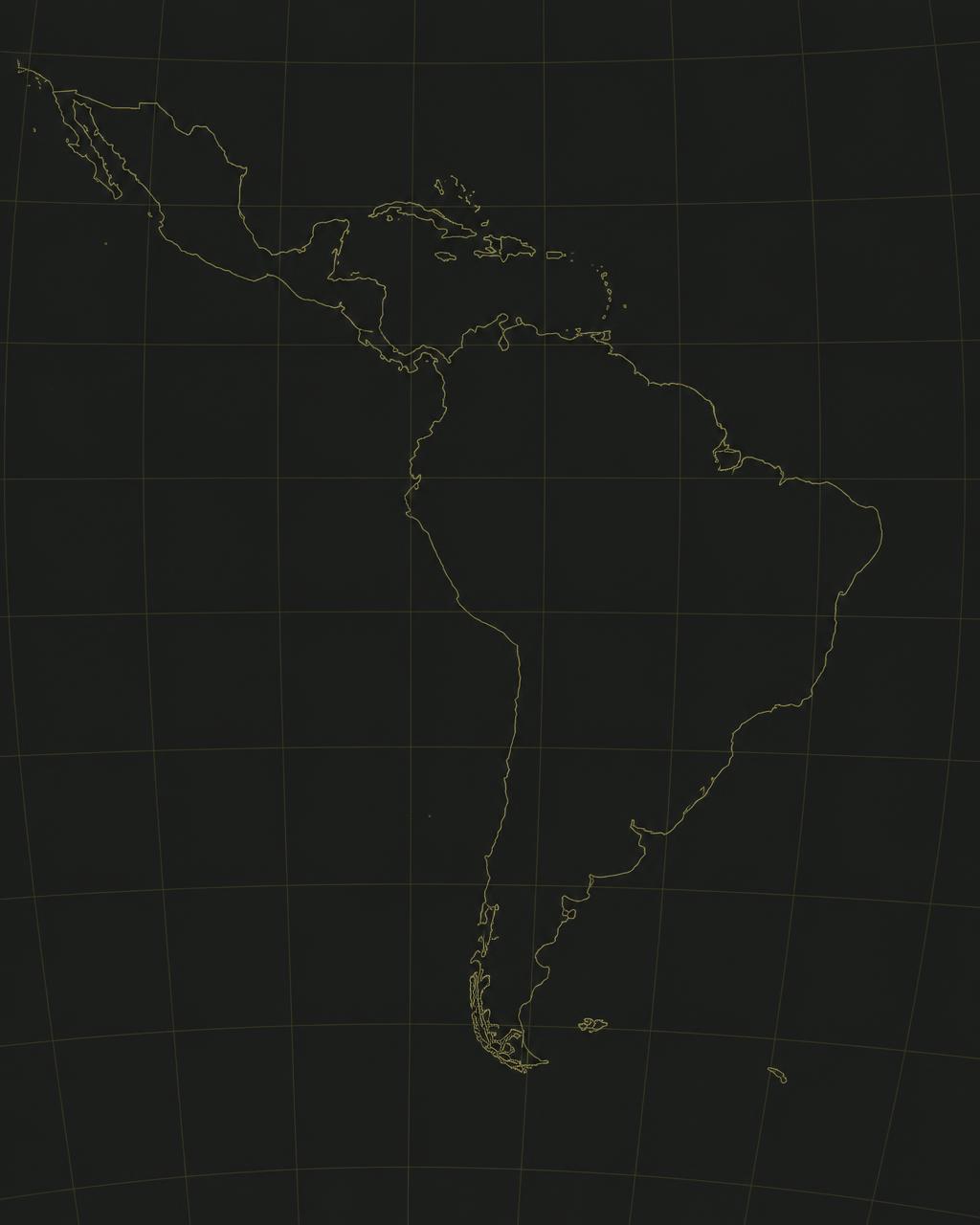
Latin America
Built from one of the world's most important agricultural regions.
Hectarea is building direct data relationships across Latin America, connecting global AI teams with agricultural ecosystems that are difficult to access from abroad.
Our sourcing capabilities are built around relationships with the organizations that generate agricultural data — not around scraping publicly available datasets.
Use Cases
Data for models that need to understand the real world.
Model Training
Real-world agricultural observations for model development and fine-tuning.
Model Evaluation
Evaluate models against verified agricultural outcomes and regional conditions.
Ground-Truth Validation
Connect remote-sensing predictions with real field outcomes.
Computer Vision & Robotics
Visual datasets for detection, maturity, disease and agricultural robotics.
Yield & Crop Intelligence
Data supporting models for production, productivity and crop outcomes.
Built for teams in AI, geospatial intelligence, remote sensing, agricultural robotics, crop intelligence and insurance.
Data Rights
Data you can actually use.
Access alone is not enough. Hectarea works directly with agricultural data owners to establish where data came from, who controls it and how it can be commercially used before it reaches AI teams.
Known Source
Clear visibility into where the data originated.
Documented Provenance
Traceability from source to delivered dataset.
Permissioned Access
Data sourced through agreements with the organizations that control it.
Defined Usage Rights
Commercial usage terms established for specific applications.
Usage rights and permitted applications are defined on a dataset-by-dataset basis.
Proprietary Access
Direct relationships with agricultural data generators.
Rights-Cleared
Provenance and usage rights established at the source.
Latin America Focus
Access to agricultural ecosystems difficult to reach from abroad.
Built for AI
Data sourced around model-specific requirements.
Request Data
Tell us what data your model needs.
Looking for agricultural data that doesn't exist in public datasets? Tell us what your team needs and we'll assess whether it can be sourced through our Latin American network.
The data your model needs may already exist in the field.
You know what data you need. We know where to find it.
Request Data